Niederlausitzer Bergbautour
Embark on a journey of discovery through more than 150 years of lignite history on the Lower Lusatian Mining Tour. The long-distance cycle route takes you over 516 kilometres through the south of Brandenburg and the north of Saxony. You will experience a mixture of industrial heritage, picturesque villages, impressive open-cast mines and new landscapes.
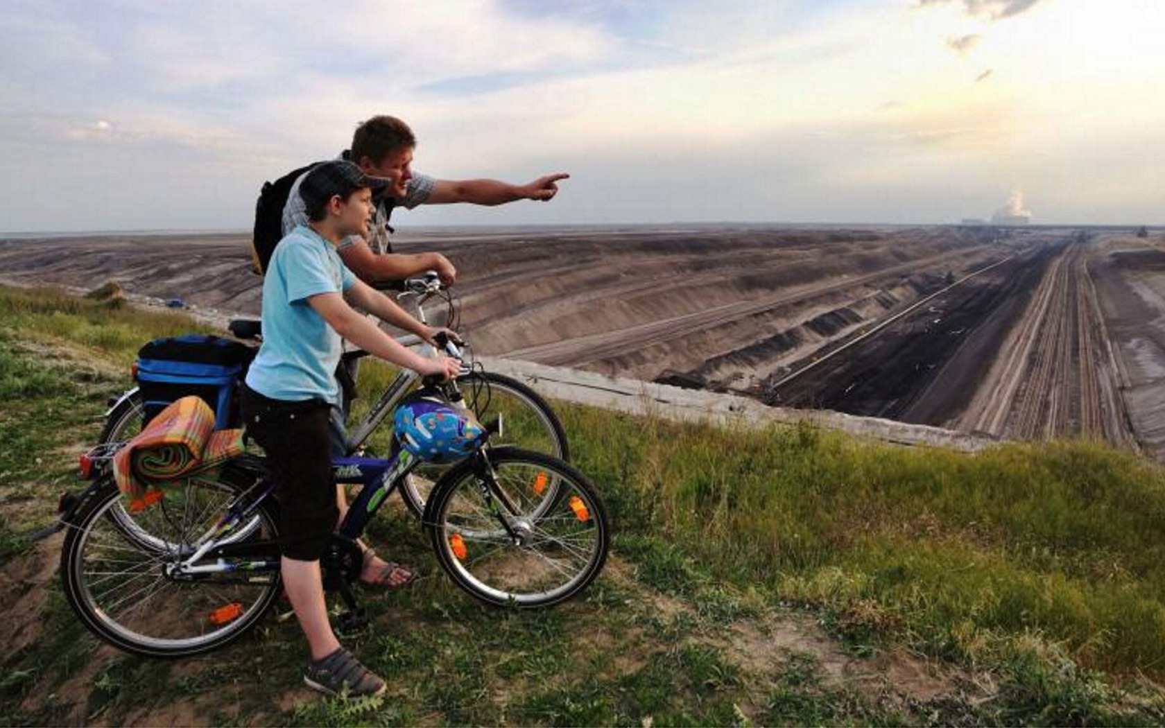
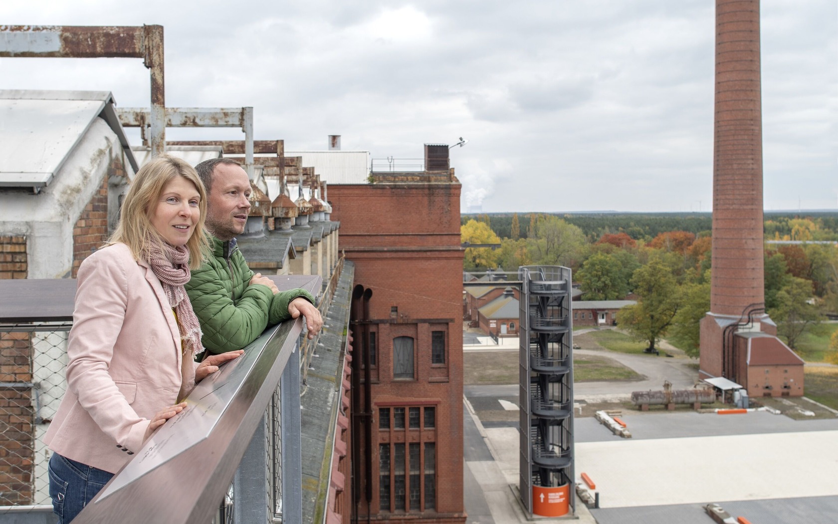
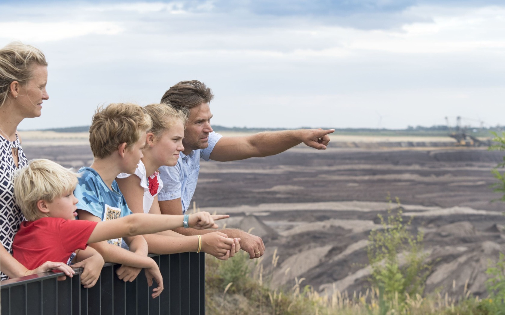
Wherever cyclists look, they will not only see idyllic lakes, unspoilt floodplain landscapes, dreamy villages, dense pine forests and vast fields, but also modern coal-fired power stations and gigantic open-cast mines. Important industrial heritage sites such as the F60 visitor mine, the Knappenrode energy factory and the enigmatic Lauchhammer bio-towers bring the region's industrial past close enough to touch. Former working environments, technical history and the daily journey of the miners can be experienced up close. Viewpoints along the route provide a view of the imposing expanses and towering open-cast mining equipment in the few coal mining fields still in operation. If the view from afar is not enough, you can set off on adventure tours right down to the coal.
By the way: there couldn't be a more fitting companion along the way, because according to legend, it was the devil who buried the black gold in the Lusatian soil ages ago.
Length: 516 km
Start / Finish: Senftenberg
Arrival and departure:
Nature of the route/route development
The tour leads along a completely new cycle path with an asphalt surface.
Route: Senftenberg, Schwarzheide, Lauchhammer, Kostebrau, Lichterfeld (detour), Freienhufen, Calau, Fürstlich Drehna, Hindenberg, Groß Beuchow, Lübbenau/Spreewald, Raddusch, Vetschau/Spreewald, Wüstenhain, Casel, Kolkwitz, Cottbus, Teichland, Bärenbrück, Jänschwalde Kolonie, Drewitz, Kerkwitz, Grießen, Neu Sacro, Forst (Lausitz), Gosda, Groß Jamno, Gahry, Mattendorf, Döbern, Bohsdorf, Hornow, Bloischdorf, Sellessen, Spremberg, Spreewitz, Burg, Lohsa, Mortka, Knappenrode, Hoyerswerda, Burg, Spremberg, Steinitz, Geisendorf, Welzow, Neupetershain, Pritzen, Großräschen, Sedlitz, Senftenberg
Please note that the route signposting is currently being revised. The track has already been adapted to the new route guidance. The signposting should be adapted in summer 2024.
Tips for explorers
Wherever cyclists look, they will not only see idyllic lakes, unspoilt floodplain landscapes, dreamy villages, dense pine forests and vast fields, but also modern coal-fired power stations and gigantic open-cast mines. Important industrial heritage sites such as the F60 visitor mine, the Knappenrode energy factory and the enigmatic Lauchhammer bio-towers bring the region's industrial past close enough to touch. Former working environments, technical history and the daily journey of the miners can be experienced up close. Viewpoints along the route provide a view of the imposing expanses and towering open-cast mining equipment in the few coal mining fields still in operation. If the view from afar is not enough, you can set off on adventure tours right down to the coal.
By the way: there couldn't be a more fitting companion along the way, because according to legend, it was the devil who buried the black gold in the Lusatian soil ages ago.
Length: 516 km
Start / Finish: Senftenberg
Arrival and departure:
- Train: via Dresden and via Berlin to Senftenberg is possible every hour
- By car: Senftenberg is well connected via the motorway BAB 13 Berlin - Dresden
Nature of the route/route development
The tour leads along a completely new cycle path with an asphalt surface.
Route: Senftenberg, Schwarzheide, Lauchhammer, Kostebrau, Lichterfeld (detour), Freienhufen, Calau, Fürstlich Drehna, Hindenberg, Groß Beuchow, Lübbenau/Spreewald, Raddusch, Vetschau/Spreewald, Wüstenhain, Casel, Kolkwitz, Cottbus, Teichland, Bärenbrück, Jänschwalde Kolonie, Drewitz, Kerkwitz, Grießen, Neu Sacro, Forst (Lausitz), Gosda, Groß Jamno, Gahry, Mattendorf, Döbern, Bohsdorf, Hornow, Bloischdorf, Sellessen, Spremberg, Spreewitz, Burg, Lohsa, Mortka, Knappenrode, Hoyerswerda, Burg, Spremberg, Steinitz, Geisendorf, Welzow, Neupetershain, Pritzen, Großräschen, Sedlitz, Senftenberg
Please note that the route signposting is currently being revised. The track has already been adapted to the new route guidance. The signposting should be adapted in summer 2024.
Tips for explorers
- Senftenberg: Senftenberg Lake, Senftenberg Castle and Fortress, Garden city of Marga
- Lauchhammer: Lauchhammer bio-towers, art casting museum, Kostebrau village with mining history on display boards
- Lichterfeld: F60 conveyor bridge visitor mine, NABU Grünhaus project office
- Slavic castle Raddusch
- Cottbus: Diesel power station art museum
- Forst (Lusatia): Forst Museum (from autumn 2025), East German Rose Garden Forst (Lusatia)
- Klinge: ‘Zeitsprung’ open-air museum, Klinger See viewing point
- UNESCO Global Geopark Muskauer Faltenbogen
- Spremberg: Castle with Niederlausitzer Heidemuseum, Schwarze Pumpe power station
- Hoyerswerda: New town with listed prefabricated buildings, Gundermann's control centre
- Knappenrode energy factory
- Welzow: Welzow-Süd open-cast mine, excursio visitor centre, Geisendorf estate in Neupetershain, archaeotechnical centre, Wolkenberg viewing point
- Großräschen: IBA Terraces and Großräschen Lake
- Lakeland Route
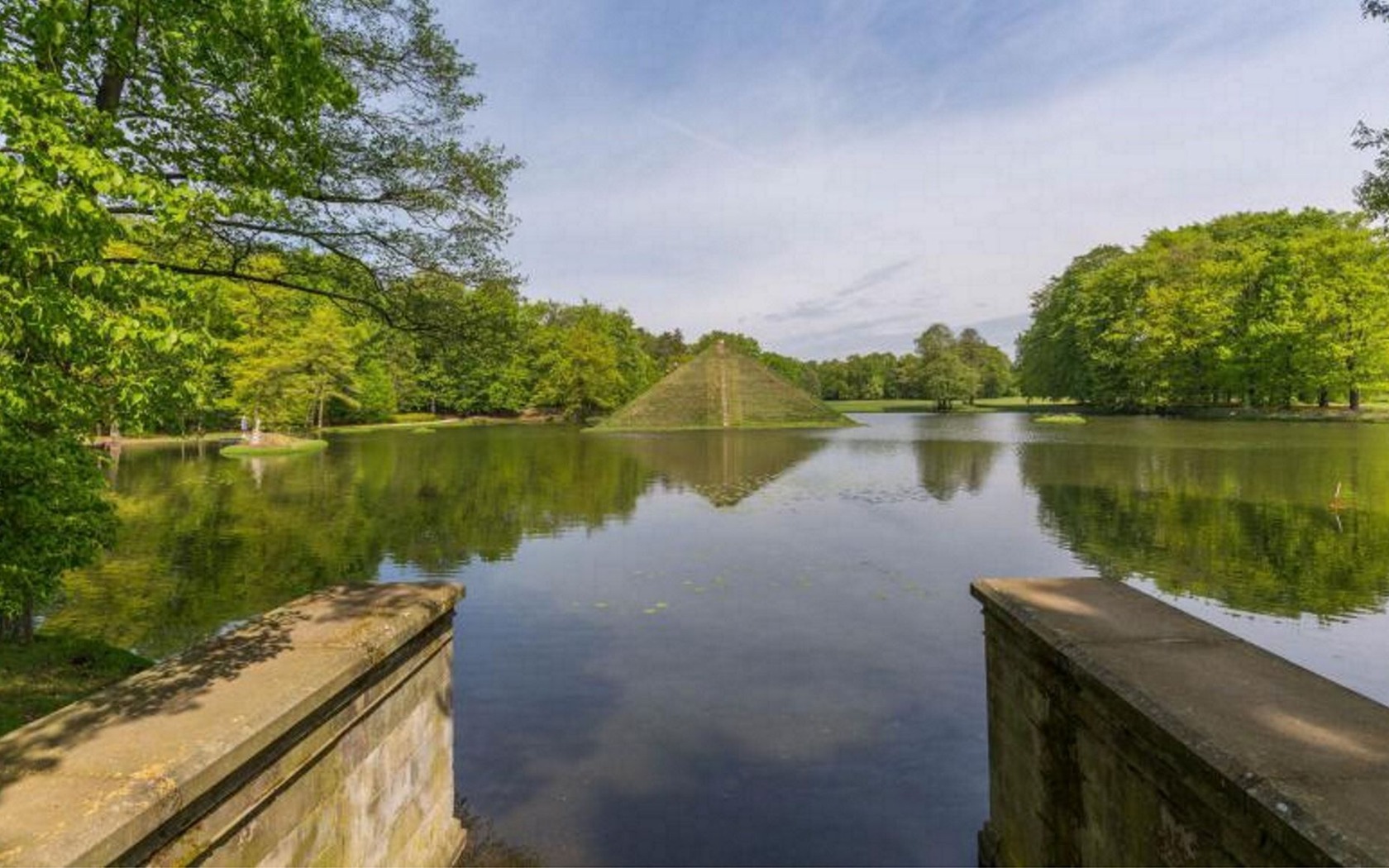
- Prince Pückler Trail
- Spree Cycle Path
- Oder-Neisse cycle path
- Upper Spreewald-Lausitz district, 1:50,000, Sachsen Kartographie GmbH, ISBN 978-3-86843-058-5
- Lusatian Lakeland, 1:50,000, Sachsen Kartographie GmbH, ISBN 978-3-86843-021-9
- Niederlausitz/Lausitzer Seenland, 1:75,000, ADFC regional map, BVA Verlag, ISBN 978-3-87073-783-2
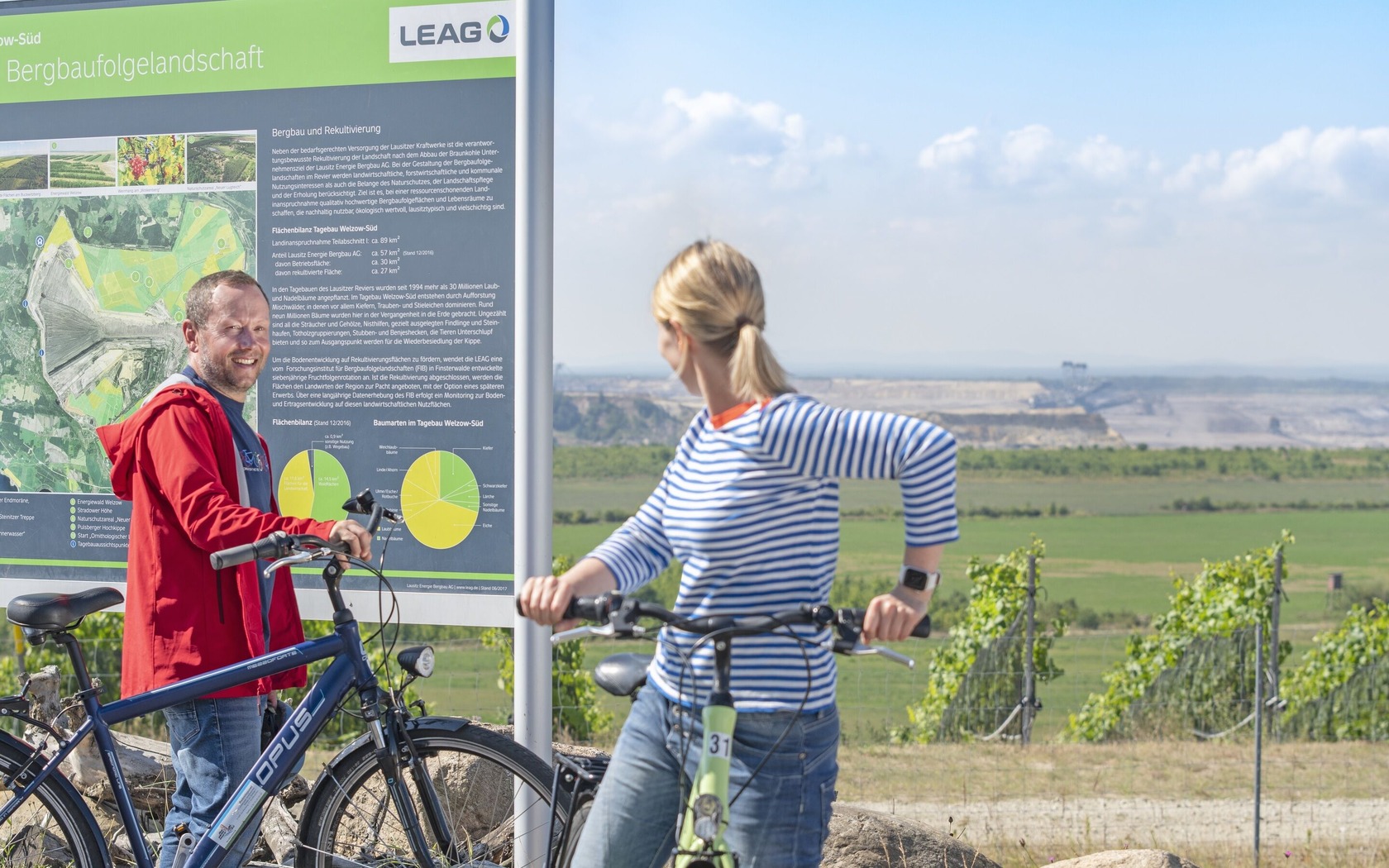 Cyclists at the Wolkenberg viewpoint, Foto: Nada Quenzel, Lizenz: Tourismusverband Lausitzer Seenland e. V.
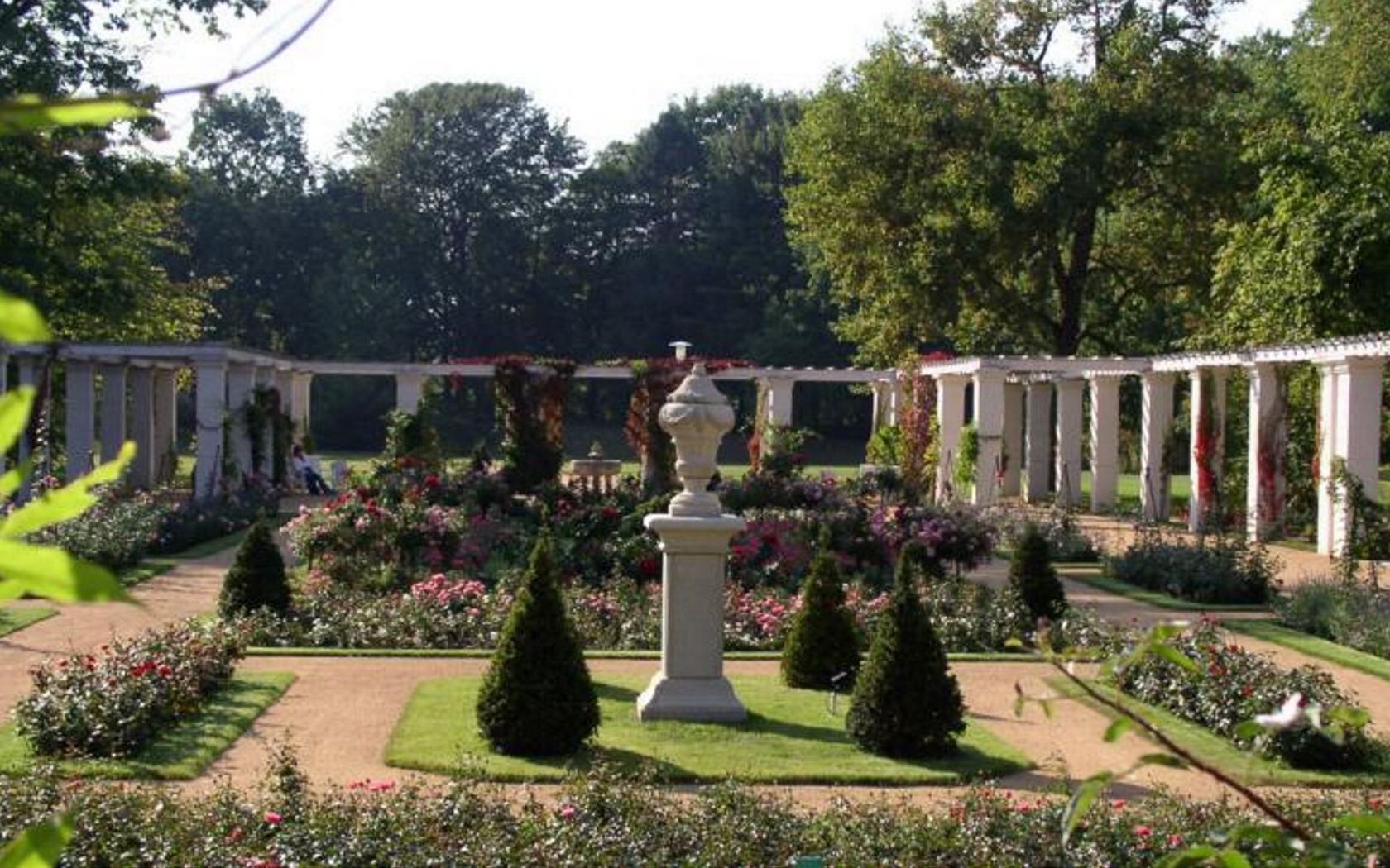 Pergola courtyard in the East German Rose Garden Forst (Lausitz), Foto: Annette Schild, Lizenz: Stadt Forst (Lausitz)
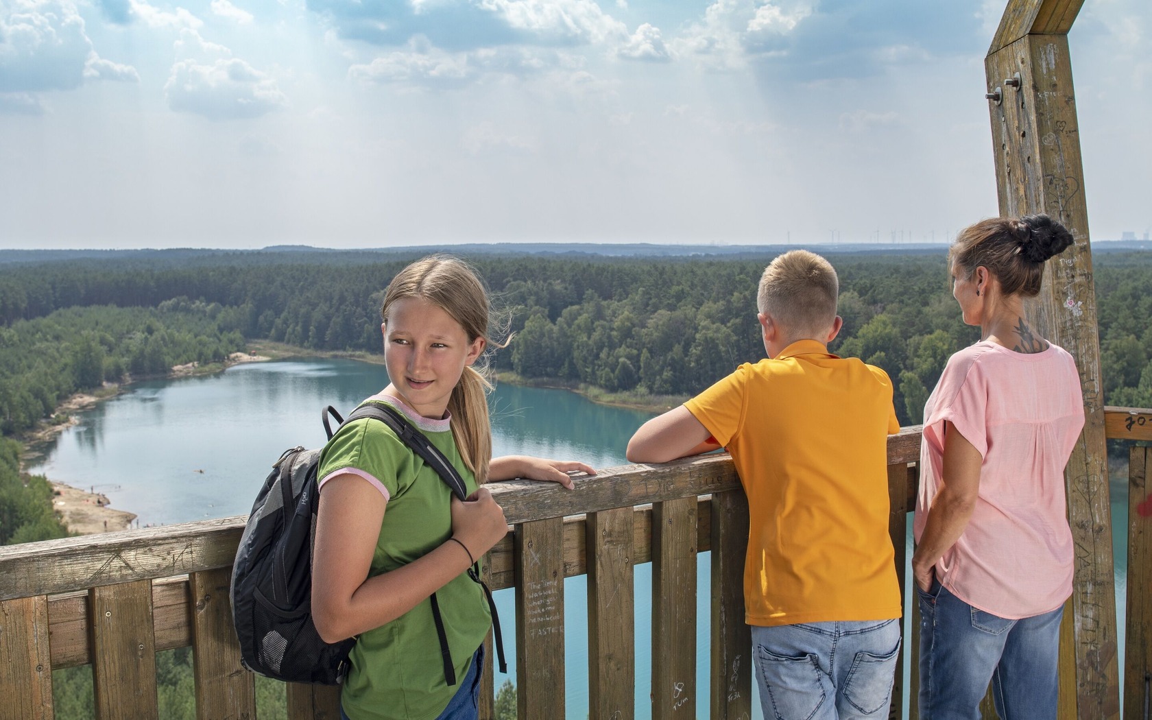 Observation tower at Lake Felix, Foto: Nada Quenzel, Lizenz: Tourismusverband Lausitzer Seenland e. V.
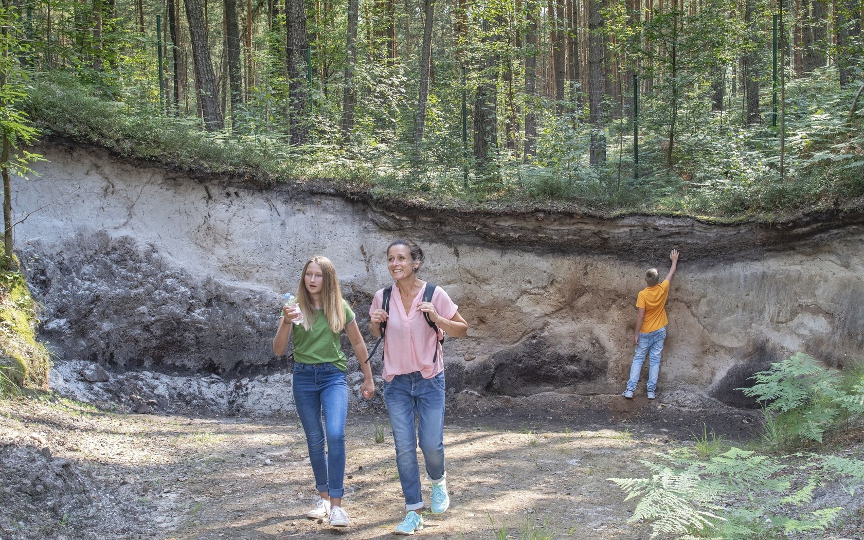 Gieser in the UNESCO Global Geopark Muskauer Faltenbogen, Foto: Nada Quenzel, Lizenz: Tourismusverband Lausitzer Seenland e. V.
Opening times
Die Öffnungszeiten entnehmen Sie bitte der Webseite des Anbieters.
Ihr Browser wird zur Darstellung von Google Maps nicht mehr unterstützt.

